Most infrastructure planning efforts today necessitate a thorough understanding of potential flood risks. By utilizing Geographic Information System (GIS) flood zone mapping data, you can gain invaluable insights into areas most susceptible to flooding and evaluate how your infrastructure might be impacted. This informed approach enables you to devise effective resilience strategies, ensuring your community’s infrastructure can withstand future flood events, thereby protecting lives and investments. In this blog post, we will explore how to leverage this vital data for enhancing infrastructure resilience planning.
Understanding GIS Technology
Before delving into how GIS flood zone mapping data can enhance infrastructure resilience, it’s vital to grasp the fundamentals of Geographic Information Systems (GIS). GIS is a powerful technology that captures, analyzes, and visualizes spatial data, allowing you to make informed decisions based on geographical factors. It integrates various data types, enabling the examination of relationships and patterns necessary for effective planning and response strategies.
Definition and Applications
Applications of GIS span many fields, including urban planning, environmental management, and disaster response. By analyzing spatial relationships, you can identify risks and allocate resources effectively. In flood zone mapping, GIS enables you to visualize areas at risk, evaluate the impact on infrastructure, and devise strategies for mitigation and recovery. This capability aids in making data-driven decisions that enhance community safety.
Importance in Flood Zone Mapping
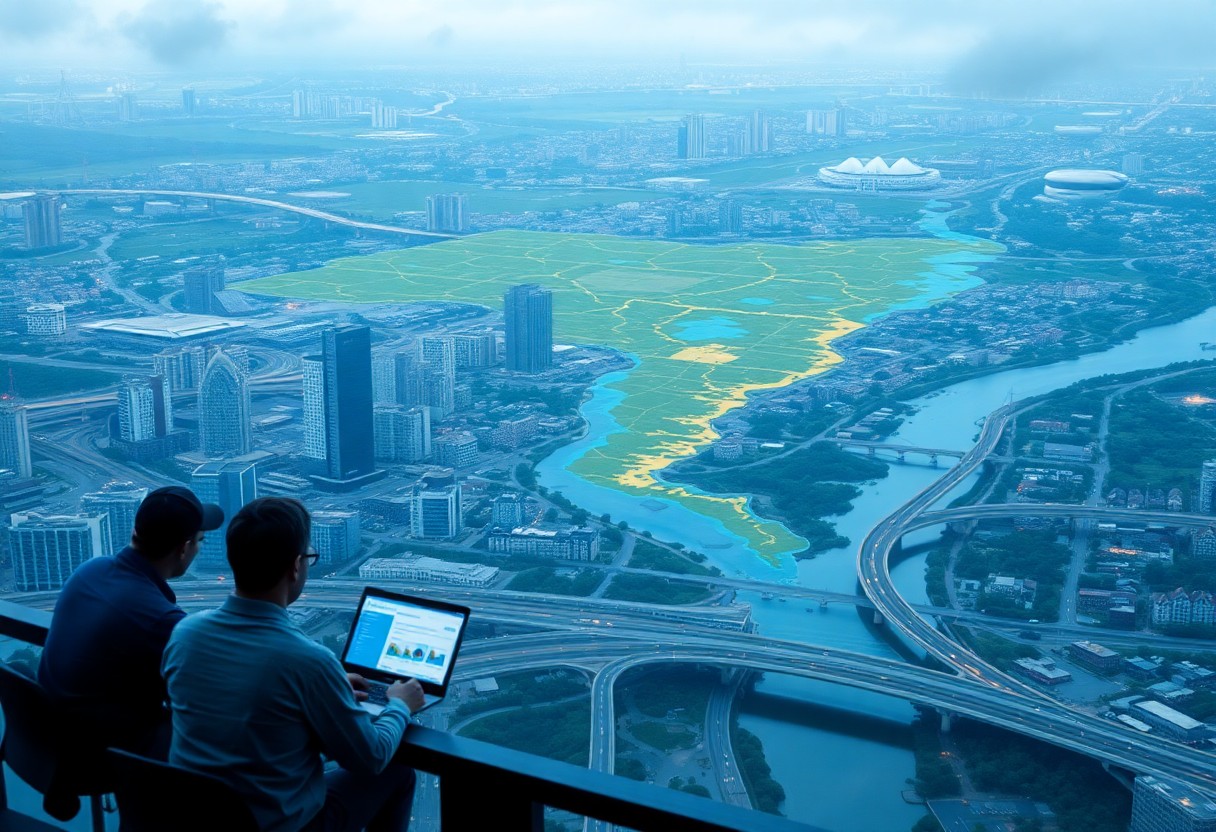
On the topic of flood zone mapping, GIS plays an integral role in assessing and managing flood risks. This technology allows you to visualize complex data about rainfall, river flow, and topography, providing a clear picture of potential flooding areas. By utilizing GIS, you are equipped to develop more resilient infrastructure plans tailored to your community’s specific vulnerabilities.
But understanding the importance of GIS in flood zone mapping goes beyond mere visualization. It allows you to analyze historical flood data, project future flood scenarios, and engage in proactive planning. By integrating various datasets, you can identify trends and inform stakeholders about potential hazards. This comprehensive approach facilitates effective mitigation efforts, ensuring that your infrastructure can withstand the challenges posed by flooding while enhancing community readiness.
The Role of Flood Zone Mapping in Resilience Planning
Even as climate change accelerates the frequency and intensity of floods, effective flood zone mapping becomes an integral component of your resilience planning. This mapping provides critical insights into potential flood-prone areas, allowing you to make informed decisions on infrastructure investment, emergency response, and community safety initiatives. By understanding geographic vulnerabilities, you can prioritize efforts to enhance infrastructure resilience, ensuring a more sustainable and secure environment for your community.
Identifying Vulnerable Areas
With flood zone mapping, you can pinpoint areas that are more susceptible to flooding. This information enables you to assess the risks associated with infrastructure and land use in these vulnerable regions. By recognizing these areas, you can develop targeted strategies to mitigate flood impacts, ensuring that your planning efforts effectively address the most at-risk locations.
Integrating Data for Infrastructure Development
Vulnerable areas identified through flood zone mapping can significantly inform your decisions regarding infrastructure development. Understanding where the greatest risks lie allows you to prioritize investments in resilient designs and strategic siting of critical facilities, ensuring they withstand potential flooding scenarios.
And by integrating flood zone mapping data with other datasets, such as socioeconomic information and existing infrastructure conditions, you can create a comprehensive framework for resilient infrastructure development. This holistic approach enables you to identify best practices in engineering and planning that not only safeguard vulnerable areas but also enhance overall community resilience. Effective integration of various data sources deepens your understanding of risk, enabling you to make better-informed decisions that will benefit your community for years to come.
Case Studies: Successful Implementation of GIS in Flood Resilience
There’s a growing body of evidence showcasing the effective use of GIS in enhancing flood resilience. Consider these impactful case studies:
- New York City: The use of GIS led to a 30% increase in the city’s capacity to manage storm surges and flooding.
- Miami-Dade County, FL: GIS mapping identified 40% of vulnerable infrastructure, reducing potential damage costs by an estimated $2 billion.
- New Orleans: Post-Hurricane Katrina, GIS tools helped prioritize $14 billion in levee improvements, significantly boosting safety measures.
- Seattle, WA: A GIS-based plan improved urban drainage systems, decreasing flood incidents by 25% over five years.
Urban Areas
Studies show that urban areas benefit substantially from GIS flood resilience planning. With dense populations and critical infrastructure, cities like Boston and Houston have effectively utilized GIS technology to analyze flood risks, optimize resource allocation, and enhance emergency response. This approach has resulted in more informed decisions that protect both lives and assets.
Rural Communities
At the heart of rural flood resilience planning lies the effective use of GIS data. By mapping flood-prone zones, you can prioritize critical infrastructure upgrades and emergency preparedness in less densely populated areas.
To further enhance resilience in rural communities, consider implementing community-driven initiatives that involve local stakeholders in GIS mapping projects. This engagement allows you to gather valuable insights on specific vulnerabilities, ensuring that your flood resilience strategies are tailored to the unique needs of the area. Collaborating with local organizations can also mobilize resources and support for infrastructure improvements, making your efforts more robust and sustainable.
Challenges in GIS Flood Zone Mapping
For effective infrastructure resilience planning, GIS flood zone mapping presents several challenges. These can include data accuracy issues, stakeholder engagement complexities, and the integration of such data into existing planning frameworks. Addressing these challenges will empower you to make informed decisions and enhance community preparedness against flooding events.
Data Accuracy and Availability
By ensuring that data used in flood zone mapping is accurate and readily available, you can improve the reliability of analyses. Disparities in data sources or outdated information can lead to misinterpretations, making it necessary to utilize the most current and relevant data sets available in your planning efforts.
Stakeholder Engagement
Engagement with stakeholders is vital in achieving effective flood zone mapping. You need input from local authorities, community organizations, and residents to ensure that the mapping process reflects real-world conditions and concerns. Establishing clear communication channels will help address diverse perspectives and foster collaborative planning efforts.
Even when you think you have identified all stakeholders, remember that communities often have varied viewpoints and concerns regarding flood risks. Engaging with these groups early takes dedication and patience but can lead to more effective mapping outcomes. By including a wide range of perspectives, you will build trust and improve the quality of the data, ultimately enhancing resilience planning and community preparedness.
Strategies for Effective Infrastructure Resilience Planning
Unlike traditional approaches, effective infrastructure resilience planning leverages advanced methods to anticipate, respond to, and recover from flood-related events. By systematically addressing vulnerabilities through data-informed strategies, you can ensure your infrastructure is robust and prepared for the challenges posed by flooding. This proactive stance not only minimizes potential damage but also enhances community safety and sustainability.
Utilizing GIS Tools
Tools such as Geographic Information Systems (GIS) provide critical insights into flood patterns, helping you analyze risk areas and make informed decisions about infrastructure improvements. With these digital mapping capabilities, you can visualize flood zones and layer them with demographic and infrastructural data, allowing for targeted planning and resource allocation. This technology helps you identify trends and predict flooding impacts, ultimately informing your resilience strategies.
Collaborative Approaches
Utilizing collaborative approaches enhances the effectiveness of your infrastructure resilience planning efforts. By engaging stakeholders, including community members, local agencies, and experts, you can gather diverse perspectives and resources that strengthen your strategies.
Resilience is often achieved through partnerships and shared knowledge. Collaborating with various stakeholders allows you to access different datasets, funding opportunities, and expertise that may not be available within your organization alone. By facilitating workshops, focusing on open communication, and utilizing collective insights, you can foster an environment of cooperation, ultimately leading to more effective and well-rounded resilience planning efforts. This teamwork ensures that all sectors of your community are considered and engaged, thus enhancing comprehensive flood risk management strategies.
Future Trends in GIS and Flood Zone Mapping
Once again, the evolution of Geographic Information Systems (GIS) and flood zone mapping is set to reshape how communities approach resilience planning. The integration of real-time data, improved modeling techniques, and advanced visualization tools will empower you to make more informed decisions. As climate change continues to challenge existing infrastructure, staying abreast of these trends will enable your organization to better anticipate and mitigate flood risks.
Technological Advancements
At the forefront of GIS development are innovative technologies such as Artificial Intelligence (AI) and machine learning. These advancements enhance your ability to analyze vast datasets more efficiently, leading to improved flood forecasts and risk assessments. Drones and remote sensing technologies also contribute by providing high-resolution imagery for accurate terrain mapping, allowing for proactive infrastructure planning.
Policy Implications
Implications of GIS advancements extend beyond technical improvements to encompass important policy considerations. With enhanced mapping capabilities, you will be better equipped to advocate for updated floodplain regulations, ensuring they reflect current risks and vulnerabilities. These policies will not only guide construction practices but also impact community preparedness and emergency response strategies.
Understanding the policy implications of GIS and flood zone mapping is vital for effective infrastructure resilience planning. As you analyze the mapping data, consider how it shapes local regulations and zoning laws, adapting them to current knowledge while promoting sustainable development. Engaging in this policy dialogue can lead to more robust measures that protect your community from future flooding events, ultimately fostering a culture of resilience.
Conclusion
From above, GIS flood zone mapping data serves as a vital tool in your infrastructure resilience planning. By leveraging this data, you can identify flood-prone areas and prioritize investments in protective measures. This informed approach allows you to enhance the stability and longevity of your infrastructure, ensuring it can withstand extreme weather conditions. By integrating GIS data into your planning process, you’re positioning your community to better respond to flooding events and mitigate potential damages, ultimately fostering a safer, more resilient environment for all.